2026 El Niño looks like 1997's, and NASA says it may get stronger
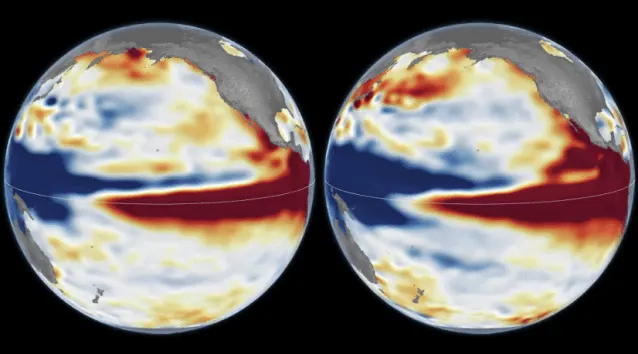
NASA satellite images of the Pacific show this year's El Niño taking the same shape as the record-setting 1997 event, and one scientist expects it to grow stronger.
 SUMO· the number puzzle
 Dialo· learn languages by speaking
 ediviewer· read EDI files like documents
 giftdetect· the right gift in minutes
This year's El Niño is lining up with the strongest one on record. NASA compared satellite images of the Pacific from 1997 and 2026, and the two look strikingly alike.
El Niño is a warming of surface water in the central and eastern tropical Pacific, and it usually returns every two to seven years. It shifts winds and air circulation, which changes rainfall and temperatures far from the ocean itself.
NASA drew on about 35 years of satellite data. Researchers compared sea surface height on 13 October 1997, captured by the TOPEX/Poseidon satellite, with 12 October 2026, captured by Sentinel-6 Michael Freilich. Warm water expands, so sea level is a handy way to see how much heat the ocean is holding.
In both years the western Pacific sits lower and the central and eastern Pacific higher. Warmer-than-normal water also travels east along the equator all the way to the South American coast. Josh Willis, who leads NASA JPL's sea level mission, said the current El Niño is heading toward being stronger than 1997's.
How likely is a very strong El Niño in 2027?
NOAA's outlook, published on 8 October, puts the chance of a strong or very strong El Niño in the first three months of 2027 at 83%.
The 1997-1998 and 2015-2016 events are the strongest on record. They brought big wildfires in Indonesia and the Amazon, drought and crop trouble in southern Africa, and heavy rain and coastal flooding in southern California.
Will it bring the same weather as 1997?
Not necessarily. In 2015-2016 the warm water reached the South American coast to a different extent than in 1997, so the rain fell elsewhere, mostly in Central America and the southeastern US, with severe flooding in Mexico.
Willis was careful here. A similar look does not guarantee identical results, he said, and for now this is only the most likely estimate. NASA researchers are checking whether California and the southern US could see a wet winter again, and they plan to keep tracking Pacific temperatures, sea height and air circulation in the coming months.
Apps worth a look
SUMO: the number puzzleTap the right tiles, add them up, hit the target. Easy to learn, hard to master. Free, for all ages.
Dialo: learn languages by speakingTalk to an AI conversation partner; every sentence comes back corrected and explained in your language. 9 languages, A1 to C2.
ediviewer: read EDI files like documentsOpen EDIFACT and X12 messages, see every segment explained, convert to JSON/XML, export PDF and Excel. Runs locally, no upload.
giftdetect: the right gift in minutesPick who it is for, the occasion and their personality. The search engine reads product descriptions from local shops and ranks what fits. Free, no sign-up.
More from this day
See all →
Comet 220P/McNaught suddenly got 1,000 times brighter. Here's why

Coral Hart used AI to write 370 books in 20 months

WhatsApp Zaps: self-deleting photos and videos for any chat

Green SM taxis: Karnataka halts new registrations, eyes mandatory meters
More in: Science
See all →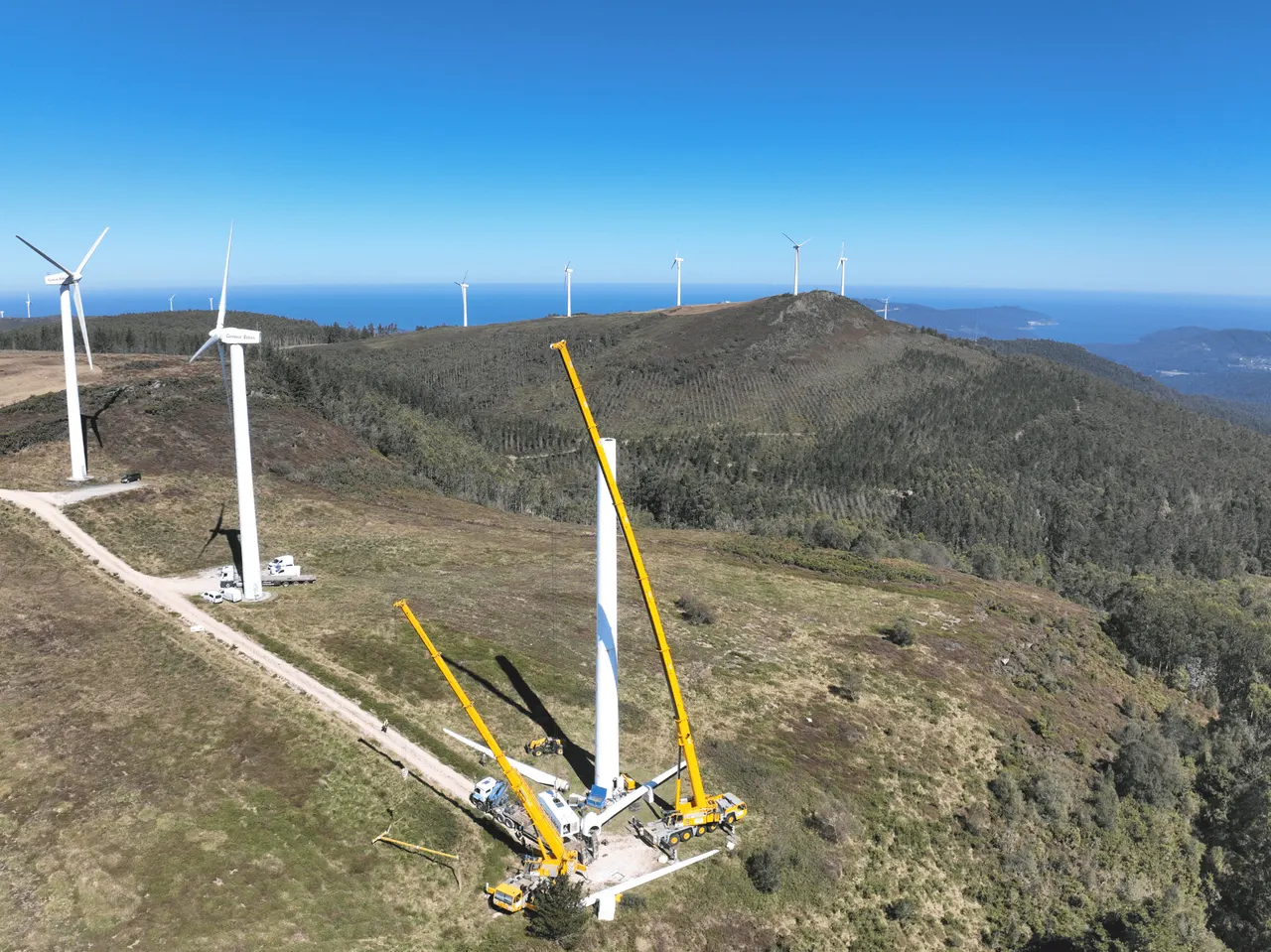
Coriscada wind farm: 4 turbines replace 40 and make 78% more power
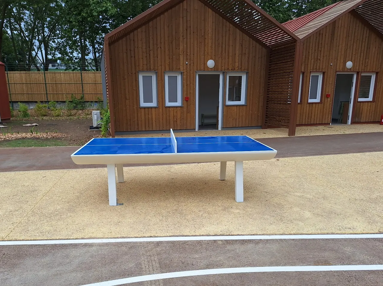
Wind turbine blade recycling: a French startup makes ping-pong tables
Drones that carry objects by weaving rope around them midair