South Korea's new satellite map rules swap forest cover-ups for blur
South Korea's new spatial data rules let map services blur sensitive sites instead of disguising them as forest. Critics say Google's demands shaped the change.

 SUMO· the number puzzle
 Dialo· learn languages by speaking
 ediviewer· read EDI files like documents
 giftdetect· the right gift in minutes
South Korea is about to change how sensitive sites appear on satellite maps, and local map companies are not happy about it. Under new rules, facilities that used to be disguised as mountains or forest will simply be blurred.
The Ministry of Land, Infrastructure and Transport and the Korea Research Institute for Human Settlements presented the rules to domestic operators on October 27 and November 10. Naver, Kakao and other spatial data companies reportedly attended. The text is a sub-regulation of the amended national spatial information law, which takes effect on December 3. It sets out how privately produced geospatial data must be security-processed.
What do the new satellite imagery rules require?
Appendix 2 of the regulation says national security facilities in publicly available road imagery must be blurred. Aerial photos and satellite images must use a spatial resolution of 15 metres or lower, meaning coarser detail.
Until now, Korean map services hid some key facilities by making them look like natural forest or mountain, and blurred others. Under the new text, blur becomes the default. Industry people say that is a clear step down in protection. One said domestic firms can comply, but whether it counts as real security processing is another matter.
Why is Google being mentioned?
Seoul had asked Google to blur military and security sites and limit coordinate display as a condition for exporting high-precision map data. Google already blurs Korean military and security sites in Google Maps and Google Earth. According to an industry source, Google said disguising sites went against its own policy and could not be accepted, so talks settled on blurring. Critics now suspect the rules were built around that position.
Domestic companies also say they were not consulted enough. A platform industry source said the regulation lacks detail, and that the ministry seems to plan to review things after the law takes effect. That leaves companies unsure what exactly they must do in less than three weeks.
Apps worth a look
SUMO: the number puzzleTap the right tiles, add them up, hit the target. Easy to learn, hard to master. Free, for all ages.
Dialo: learn languages by speakingTalk to an AI conversation partner; every sentence comes back corrected and explained in your language. 9 languages, A1 to C2.
ediviewer: read EDI files like documentsOpen EDIFACT and X12 messages, see every segment explained, convert to JSON/XML, export PDF and Excel. Runs locally, no upload.
giftdetect: the right gift in minutesPick who it is for, the occasion and their personality. The search engine reads product descriptions from local shops and ranks what fits. Free, no sign-up.
More from this day
See all →
Coral Hart used AI to write 370 books in 20 months

WhatsApp Zaps: self-deleting photos and videos for any chat

Green SM taxis: Karnataka halts new registrations, eyes mandatory meters

Chase outage: Zelle and bank transfers delayed across the US
More in: Other
See all →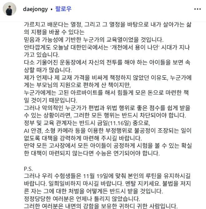
South Korea's CSAT AI cheating fears: star tutors say delay exam
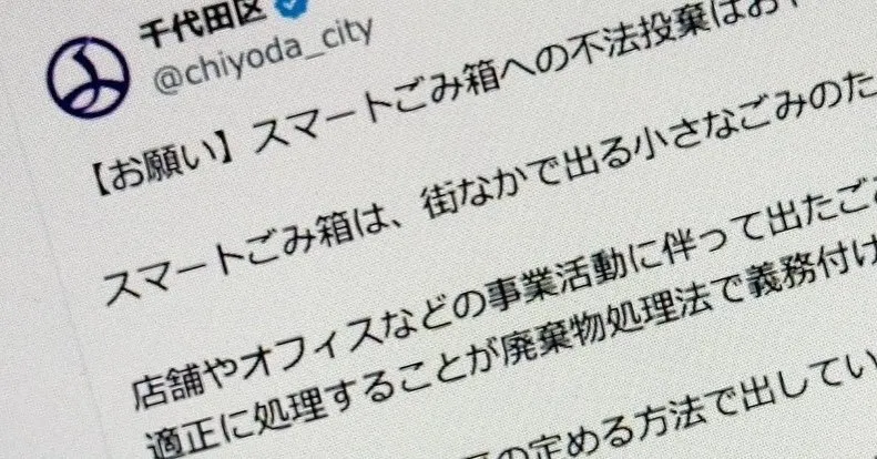
Akihabara smart trash cans: dumping on day 3, cameras were ready

Petrol station PC overheated, so a techie rigged a bathroom fan